This post is also available in:
![]() Deutsch
Deutsch ![]() Français
Français ![]() Português
Português ![]() Español
Español
Bordered by the two mountain ranges of Mount Lebanon and the Anti-Lebanon, the Beqa valley is the most important agricultural area in Lebanon. Mount Lebanon separates it from the Lebanese coast, while the mountains of the Anti Lebanon mark the border with Syria. The Beqa, which lies about 30 km east of Beirut, extends for about 120 km in length and has an average width of 15 km.
Geologically, the Beqa Valley represents the final part of the great rift valley that crosses all of East Africa and then extends along the Red Sea, the Dead Sea and ends with the Beqa Valley. The valley is crossed by two rivers: the Litani river that runs from north to south, and the Oronte river that flows north to Syria.
A MIXED CHRISTIAN AND MUSLIM POPULATION
In the northern part of the valley the land is more arid, pastoralism prevails here, while most of Lebanon’s agricultural lands are concentrated in the central and southern areas. Among the most common crops we find wheat, corn, orchards, vineyards, cotton and vegetables.
The Beqa valley is inhabited by a mixed Christian and Muslim population. In the north the Shiites predominate, in the center around the city of Zahle the Greek Catholics, further south live the Sunnis and the Druze. But throughout the valley there are also Greek Orthodox, Maronite Christians, and in the town of Anjar, Armenians.
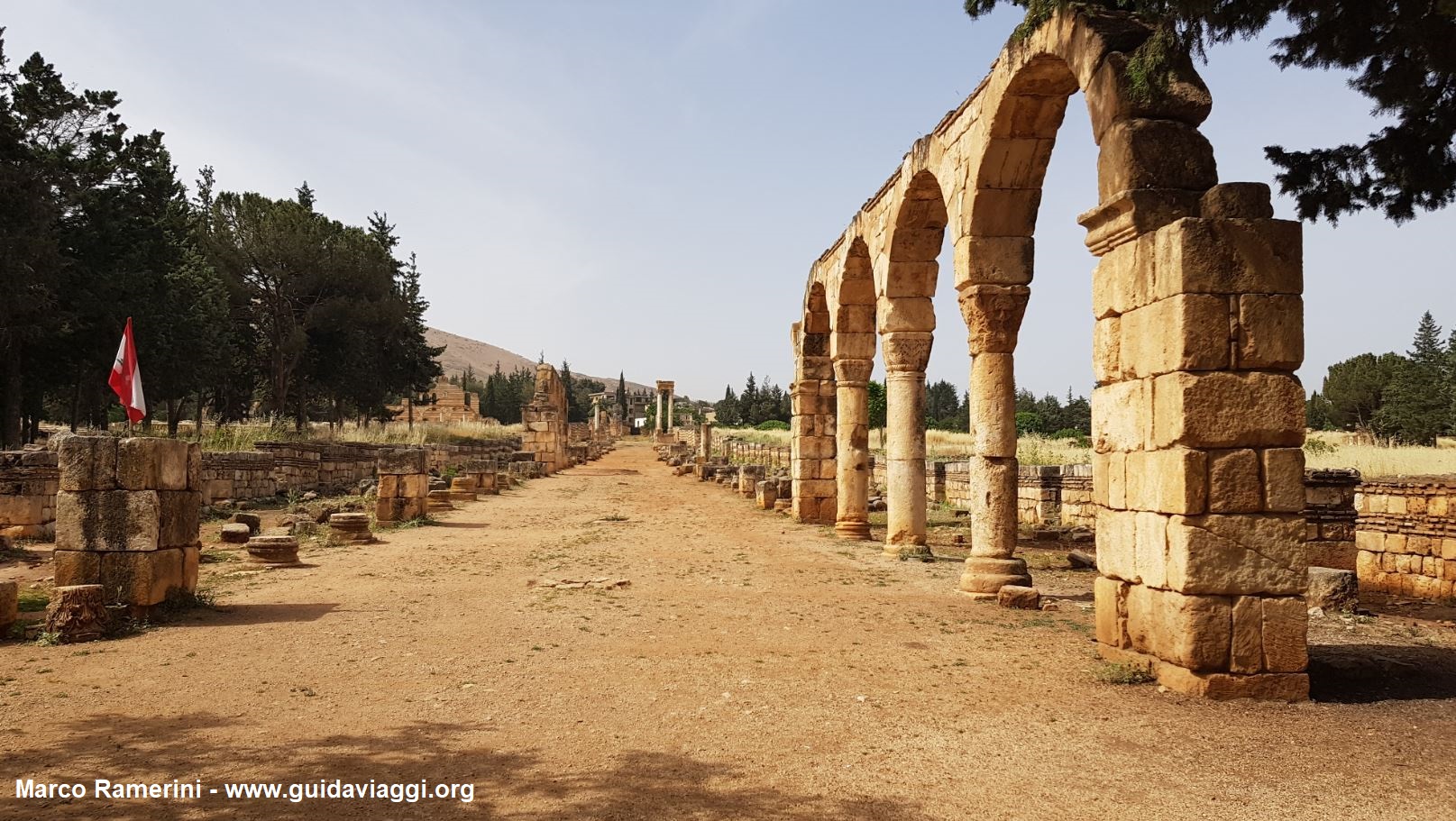
In ancient times, in Roman times, this area of Lebanon was part of the province of Syria and was one of the granaries of the Roman Empire. In the valley stood one of the most important Roman cities of the Middle East: Heliopolis, the current Baalbek. Whose ruins today form the most important archaeological site in Lebanon and one of the most spectacular of the entire Roman Empire. Baalbek is part of the UNESCO World Heritage Site, but there is also another UNESCO site in the Beqa: Anjar, where the splendid ruins of an Umayyad era city (early 8th century AD)
with a clear Roman influence are located.


This post is also available in:
![]() Deutsch
Deutsch ![]() Français
Français ![]() Português
Português ![]() Español
Español
