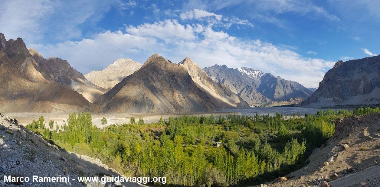
This post is also available in:
![]() Deutsch
Deutsch ![]() Français
Français ![]() Italiano
Italiano ![]() Português
Português ![]() Español
Español
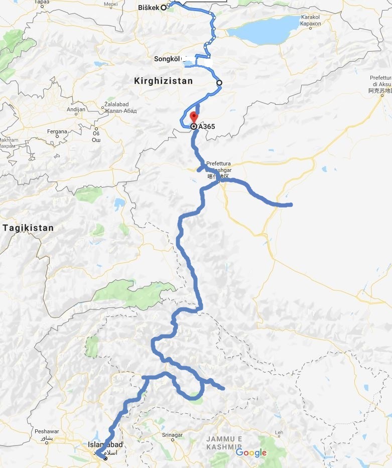
Crossing Kyrgyzstan, China and Pakistan
A spectacular itinerary, a travel in the mountains of Central Asia, which from Kyrgyzstan through China reaches Pakistan. In part we drive the mythical Karakoram Highway, the road that connects China to Pakistan passing through the Khunjerab Pass, on the border between the two countries, where the road reaches 4.693 meters of altitude. The Khunjerab Pass is the international border crossing point on the world’s highest asphalt road and the highest point to be reached on the Karakoram Highway.
The itinerary we cover includes the crossing of the majestic mountain ranges of Tien Shan, Pamir, Karakorum and the western end of the Himalayas. Also with views of the Kunlun and Hindukush mountains.

These are all mountain ranges that far exceed 7,000 meters in height and which in the case of the Karakorum and the Himalayas exceed 8,000 meters, presenting the highest peaks on the planet. Among these, during our itinerary, we touch the western extremity of the Himalayas passing next to the majestic Nanga Parbat, which with its 8,126 meters of height is the ninth highest mountain in the world. One of the 14 eight thousand of the planet Earth.
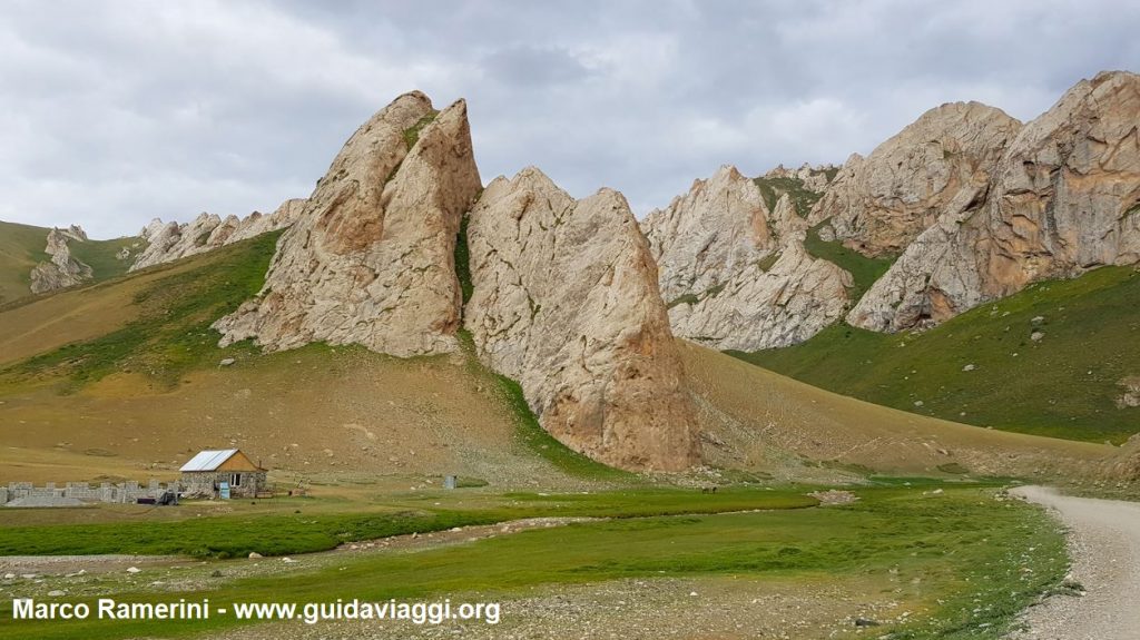
KYRGHIZISTAN
In the Kyrgyz section we climb the Tien Shan plateaus up to the Song Kol lake which is over 3,000 meters above sea level. Here we are spectators of the typical game of the Kyrgyz nomads, the Ulak Tartysh (Kokboru or Buzkashi), who on horseback compete for a goat carcass. On the way to China we visit the caravansary of Tash Rabat. We then climb to the Torugart pass which with its 3,752 meters marks the border between Kyrgyzstan and China. Here we are waiting for 7 Chinese customs checks, we are entering the Xinjiang Uyghur Autonomous Region.
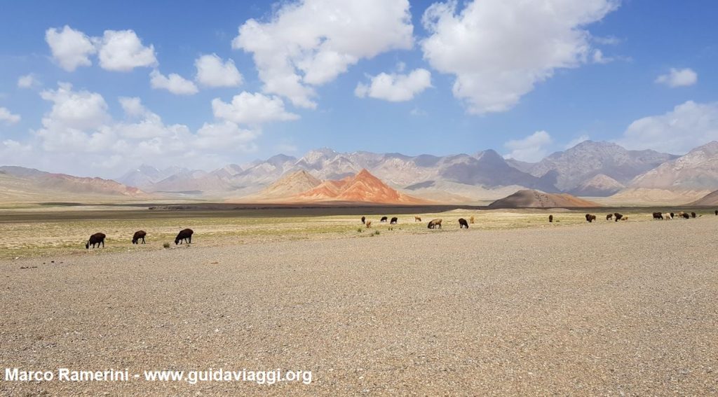
CHINA
Part of the journey takes place along a section of the ancient Silk Road. In the Chinese section we visit the ancient caravan city of Kashgar and a detour takes us to see the dunes of the Taklamakan desert. To the west of Kashgar, a two-hour trek allows us the ascent to the lonely Shipton’s Arch, rediscovered in 2000 by a National Geographic expedition, which with its 460 meters high is probably the highest natural arch in the world.
In China, when we cross the Pamir plateau, we stop at Lake Karakul which is at 3,645 meters above sea level, and dominated by the pyramid of Mount Muztagh Ata which reaches 7,509 meters in height. Near the Chinese town of Tashkurgan – in whose fortress some scenes of the movie “The kite-runner” were filmed – we touch the mountains of the Wakhan corridor, the Afghan border is only 35 km as the crow flies.

Surrounded by the spectacular scenery of the Pamir plateau we reach the border between China and Pakistan. Here we climb up to 4,693 meters of altitude of the Khunjerab Pass. This is the highest point we touch on this journey.
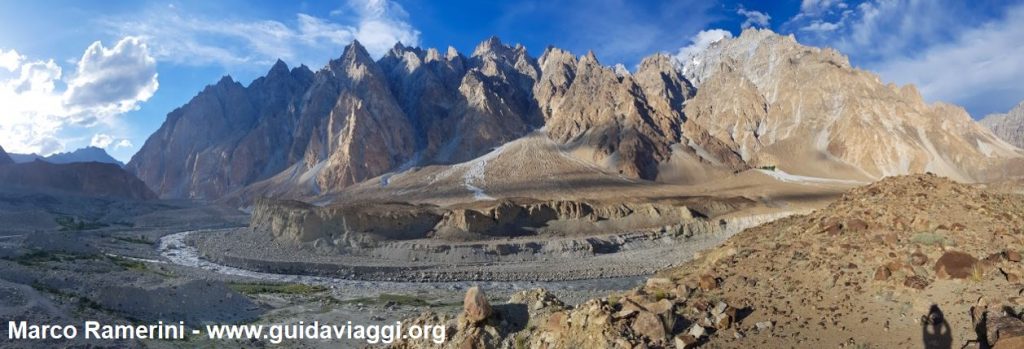
PAKISTAN: THE HUNZA VALLEY AND THE KARAKORUM
In Pakistan we visit the beautiful valley of the Hunza river nestled between the rugged mountains of the Karakorum. Here, from the spectacular observation point of the Eagle’s Nest, we can admire the summit of Mount Rakaposhi (7,788 meters of alteza) illuminated by the sun in the soft light of dawn. Even the Ladyfinger Peak, which reaches 6,000 meters in height, shows itself in its immense beauty. But the whole arc of the mountains (Diran Peak, Haramosh, etc.) that appear before our eyes in the light of dawn is to be breathless.

PAKISTAN: THE BALTISTAN
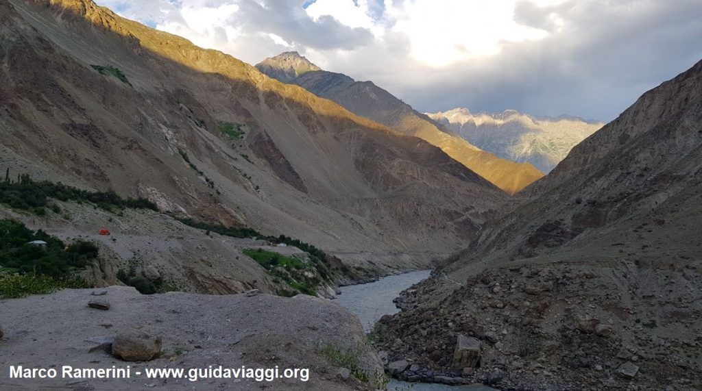
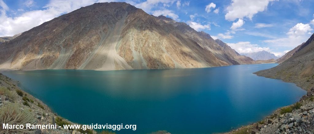
The journey continues to the isolated Baltistan region bordering the battered Indian Kashmir. We drive along the high valley of the Indus river that flows into a wonderful and long canyon, surrounded by rugged mountains and large glaciers. In the clouds, at the eastern end of Baltistan, beyond the village of Machlu, we catch a glimpse of Mount Masherbrum (7,821 meters).
PAKISTAN: THE DEOSAI NATIONAL PARK AND HIMALAYA
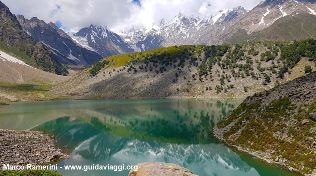
We cross the high altitude meadows of the Deosai National Park and we cross the spectacular gorge of the Astore river until we reach the majestic Nanga Parbat. The highest mountain that we observe in our itinerary and one of the most dangerous for the climbers who have attempted the ascent.
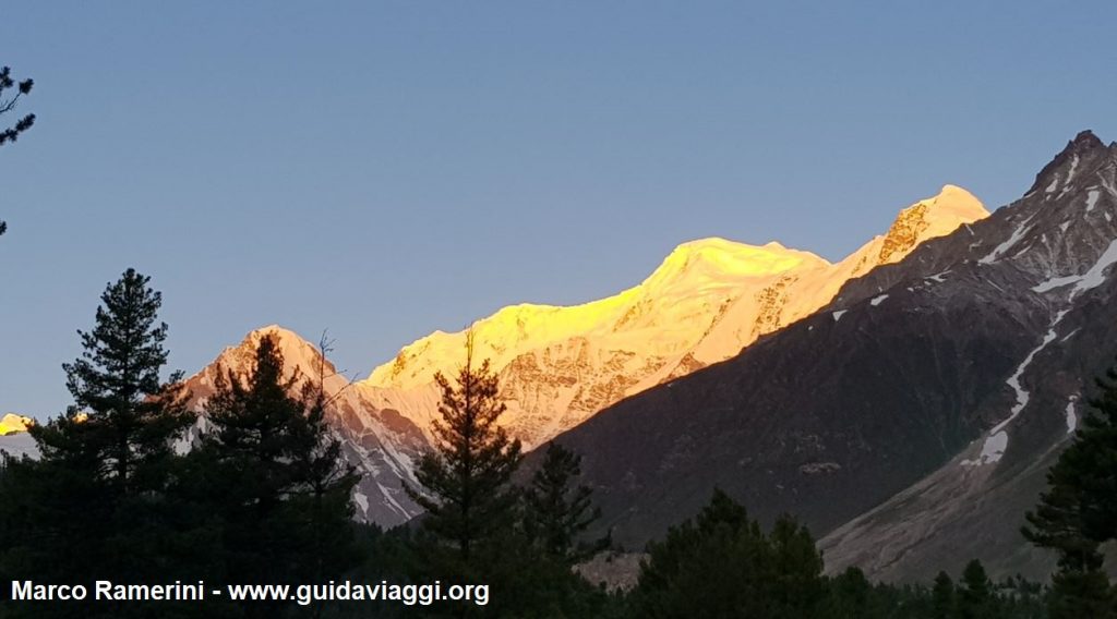
We climb up to the Babusar pass at 4,173 meters and descend along the Kunhar River and the Kaghan Valley admiring the last mountainous landscapes of this journey among the highest mountain ranges on the planet. We reach Abbottabad, the town famous for being the place where American troops, in 2011, discovered and killed terrorist Osama Bin Laden.
The last stops in Pakistan lead us to visit the archaeological ruins of Taxila, a city conquered by Alexander the Great in 326 BC, and now a UNESCO World Heritage Site and the modern Faisal mosque in Islamabad.
This post is also available in:
![]() Deutsch
Deutsch ![]() Français
Français ![]() Italiano
Italiano ![]() Português
Português ![]() Español
Español
